About MnModel
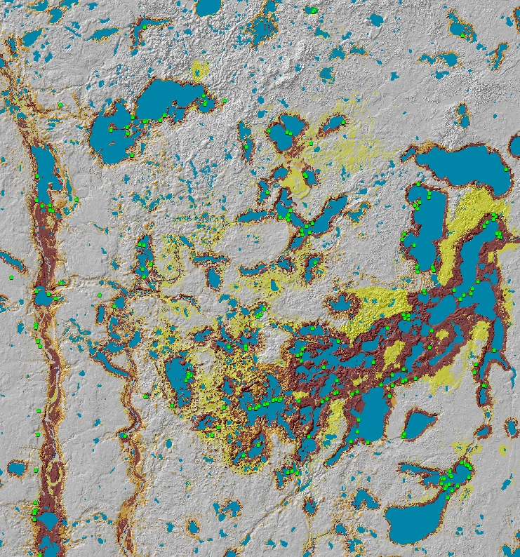
MnModel is a set of GIS-based tools that help the Minnesota Department of Transportation avoid impacts on archaeological sites throughout Minnesota. MnModel uses GIS-based statistical models that map the potential for pre-1837 surface archaeological sites in Minnesota.
MnModel is significant because it is the first archaeological predictive model to:
- Be developed and implemented for an entire state.
- Make survey bias explicit in the final results.
- Assess the potential for finding archaeological sites both at the soil surface and at different depths.

These models have been used by MnDOT for site avoidance and survey design since 1998, helping MnDOT meet the mandate of Section 106 of the National Historic Preservation Act. Models are now available to all qualified archaeologists, tribal historic preservation officers, and the Minnesota Indian Affairs Council via the Office of the State Archaeologist (OSA) Portal.
